 Sign In
South Pacific: Exploring Indonesia, Papua New Guinea & Fiji
- 20 Sep ‘28
- 33 nights
- Departing from Darwin
- Silver Cloud

 Earn & redeem points on all travel* with World360 Rewards – join free today!
-
Suite price fromCall for price
YOUR ITINERARY
Darwin, Australia - Pulau Nai - Misool Island, Raja Ampat - Yenwapunor,Gam Island - Kri Island, Raja Ampat, Indonesia - Pulau Swande - Kwatisore, Cenderawasih Bay, Indonesia - Aisandami Village, Indonesia - Pulau Rouw, Indonesia - Pulau Biak - Vanimo, Papua New Guinea - Ali Island - Madang, Papua New Guinea - Garove Island, Papua New Guinea - Rabaul, Papua New Guinea - Kennedy Island, Solomon Islands - Mbili Island, Fiji - Santa Ana, Solomon Islands - Champagne Beach, Vanuatu - Ambrym Island, Vanuatu - Lautoka - Levuka, Ovalau, Fiji - Leleuvia, Fiji - Fulanga, Fiji - Uoleva Island - Neiafu, Vava'u Group - Eueiki Island - Date Line gain a day - Rarotonga - Aitutaki, Cook Islands, New Zealand - Bora Bora, French Polynesia - Papeete, Tahiti, French Polynesia
“Australia’s capital of the north is a ...
“Australia’s capital of the north is a uniquely tropical city, and a historically isolated outpost of this vast, diverse country. Reaching up towards the equator, a full 2,000 miles from Sydney and Melbourne, the city was named in honour of Charles Darwin by the British settlers who established a frontier outpost here. With a unique history, beautiful islands nearby, and a palette of sizzling Pacific flavours, colourful Darwin is an enchanting and exotic Australian destination. Crocodiles patrol the jungled waterways and tropical rainforests around Australia’s gateway to the Top End.
Explore via airboat to look down on the veiny waterways of the mist-laced Kakadu National Park. The sounds of chattering birdlife and the gentle splash of fountains and waterfalls will fill your ears in George Brown Darwin Botanic Gardens. Soak it all in, before kicking back and relaxing with a picnic and a crackling barbecue. The sunshine and famous tropical pink sunsets mean many visitors naturally gravitate to the city’s soft sands to relax at spots like pretty Mindil Beach, as evening approaches. The adjoining market is filled with souvenirs and crafts stands and is the perfect great place to enjoy some fiery Asian flavours. Stroll the stalls, grab some food, and crack open an ice-frosted beer as the sunset show begins. It may be remote, but Darwin found itself on the front line during the Pacific War, as the Japanese air force unloaded their bombs onto the city in 1942. This relaxed unassuming city has a deeply resilient backbone, however, and you can explore the museums to learn more of the war’s impact on Darwin, as well as the devastating effects of one of Australia’s worst natural disasters, Cyclone Tracy in 1973.”
he Raja Ampat region of West Papua, with its multiple isl...
he Raja Ampat region of West Papua, with its multiple islands and intricate system of reefs lies in the heart of the Coral Triangle. This region has been called the most biodiverse area of ocean on the planet. One of the four larger islands is Misool, and the mystery and beauty of the deep aqua lagoons and mysterious vertical jutting rock formations defy description. Underwater surrounding Misool are steep coral walls and drop-offs that are festooned with table corals, staghorn corals, and orange and purple sea squirts.
Kwatisore Bay is a 2 km wide bay located west of Kwatis...
Kwatisore Bay is a 2 km wide bay located west of Kwatisore Peninsula at the southwestern end of the wide Cenderawasih (bird of paradise) Bay. An area of 1,453,500 hectares, a great part of the bay, has been declared a national park. Within the national park is Indonesia’s largest marine national park. Some dive companies claim that Cenderawasih Bay is the whale shark capital of the world, and the area near Kwatisore Bay is one of the few places in the world where encounters can almost be guaranteed. View less The whale sharks seem to be permanent residents of the protected marine park and as the locals believe whale sharks are under the protection of spirits and will bring good luck, not only has fishing them been traditionally prohibited, the fishermen actively encourage their presence by feeding them small amounts of their catch. Therefor the best places and time to look for the whale sharks –and to swim or dive with them- are the local fishing pontoons during the early morning hours.
Biak is a small island located in Cenderawasih Bay near th...
Biak is a small island located in Cenderawasih Bay near the northern coast of Papua, an Indonesian province, and is just northwest of New Guinea. Biak is the largest island in its small archipelago, and has many atolls, reefs, and corals. The largest population centre is at Kota Biak on the south coast.
Only about 30 kilometers (19 miles) from the Indonesi...
Only about 30 kilometers (19 miles) from the Indonesian border, Vanimo is the capital of the Sandaun (or Sundown) Province. It is one of only two towns in this remote region of Papua New Guinea. Although the Sepik River originates in the province, it bypasses Vanimo far to the south. The Sandaun Province is relatively undeveloped, but Vanimo has lovely beaches and some picturesque villages in the vicinity. The interior is covered in rainforest and logging is an important activity putting to use Vanimo’s port and protected bay.
Ali Island is one of the four islands located close ...
Ali Island is one of the four islands located close to Aitape, off the northern coast of Papua New Guinea. The eastern shore of Ali Island has a beautiful white sandy beach and offers swimming and snorkeling. The five villages on the island connect via well-maintained trails that lead to the school and Catholic church closer to the northern end of the island.
The eastern half of the island of New Guinea – ...
The eastern half of the island of New Guinea – second largest in the world – was divided between Germany (north) and the UK (south) in 1885. The latter area was transferred to Australia in 1902, which occupied the northern portion during World War I and continued to administer the combined areas until independence in 1975. A nine-year secessionist revolt on the island of Bougainville ended in 1997 after claiming some 20,000 lives.
The volcanic island of Garove is part of the Witu Islands an...
The volcanic island of Garove is part of the Witu Islands and once had a 5-kilometer-wide (3.1 miles) caldera. The island was historically used to produce copra and cocoa, and in fact, still is today. Most of the villages are located around the exterior of the volcano. Steep cliffs explain why there is only one area settled on the inside. A promontory at the entrance’s southwestern corner is taken up by the school and the catholic church of the village of Widu, the only village inside the caldera.
If surreal and unique experiences are your thing, then the...
If surreal and unique experiences are your thing, then the Papua New Guinean town of Rabaul should tick your travel boxes. Found on the north eastern tip of New Britain Island (the largest island off mainland PNG) Rabaul, the former provincial capital, has quite a remarkable location. The town is inside the flooded caldera of a giant volcano and several sub-vents are still quite active today! The lively city was almost entirely devastated by Mount Tavurvur in 1994, covering the city in ashfall, but thankfully costing no lives. View less
Since then, thanks to Rabaul’s deep-water port, commerce has been on the up, and a few shops and hotels have managed to find an audience. However, Rabaul’s remote location together with the volcano still being one of the most active and dangerous in Papua New Guinea means tourism in not rife. Rabaul has an impressive WWII history which includes a 300-mile network of tunnels dug by Japanese POW designed to conceal munitions and stores. After the Pearl Harbour bombings, the Japanese used Rabaul as their South Pacific base for the last four years of WWII, and by 1943 there were about 110,000 Japanese troops based in Rabaul. Post war, the island was returned to Australia, before it was granted independence in 1975. It should be noted that patience is a virtue here. However, that is not all bad. The slow pace of transportation allows travellers to marvels at the quite astonishing landscape. Divers will also be richly rewarded – the marine life of the island is extraordinary.
Kennedy Island is a small uninhabited island in the Solomon Is...
Kennedy Island is a small uninhabited island in the Solomon Islands that was named after John F. Kennedy, following an incident involving Kennedy during his World War II naval career. Kennedy Island lies 15 minutes by boat from Gizo, the provincial capital of the Solomon Islands’ Western Province.
Port Mary is the name of the bay adjacent to Ghupuna, the mai...
Port Mary is the name of the bay adjacent to Ghupuna, the main village in Santa Ana. A bright white sand beach with huge shade-giving trees runs along the shoreline in front of the tidy village. The houses here are made with local materials and most are built on stilts. Islanders generally welcome visitors with traditional songs and dances performed by members of the three different villages on Santa Ana. Some local people will also set up stands offering souvenirs for purchase. View less
The Solomons are best known for strings of traditional shell money and elegant carvings based on local stories and legends.
As world famous beaches go, Champagne Beach is one of the big ...
As world famous beaches go, Champagne Beach is one of the big hitters. In 2003, CNN ranked it number nine in its list of top 100 beaches and independent travel specialists permanently include it on their list of 50 best beaches worldwide. It’s one of the world’s greatest natural beauties: picture-perfect beach white sand, turquoise water and nothing – save for the occasional cow or curious turtle – around.
With only coconut plantations and a few friendly locals to keep you company, this might just be the island of your dreams. The glorious name “Champagne Beach” was given to the island in the 17th century, when Pedro de Quirós believed he had reached the famous unknown southern land or the “Tierra Australis Incognita” (or Australia as we now know it). He believed the effervescent bubbles of volcanic origin that bubble up from the crystal clear waters were reminiscent of the bubbles of Champagne. Additionally, the coastline is shaped like an art deco Champagne saucer, so the name stuck! The beach is located on the largest yet least populated island in the 40-island Vanuatu archipelago, near the village of Hog Harbor on Espiritu Santo Island. If you want to venture beyond the beach, then Espiritu Santu is also famed for its blue holes. The island is home to some of the clearest waters on Earth, benefiting from natural filtering from underground limestone caves. Ride or paddle your way through emerald green rainforest amid the sound of birdsong for an experience that will make your soul sing.
Unlike Espiritu Santo with its raised coral reefs and white...
Unlike Espiritu Santo with its raised coral reefs and white sand, Ambrym is a volcanically active island with dark sand beaches. Ambrym is known as the island of magic and is the source of five local languages that all evolved on Ambrym. This handful of languages contributes to the well over 100 languages of Vanuatu. Some of Ambrym’s magic takes place in the lush greenery of the local community of Ranon. Here the people perform a very special and traditional ‘Rom’ dance.
Participants prepare their masks and costumes in secrecy and the dance is reserved for special occasions.
Lautoka is often described as the sugar city. Sugar cane...
Lautoka is often described as the sugar city. Sugar cane is the major industry of Fiji and Lautoka is its main base. Here are the industries’ headquarters, the largest sugar mill, modern loading facilities and a large wharf. It features 70 miles of roads, almost all paved, a wonderful botanical garden and royal palm trees decorating the city’s main street, Vitogo Parade. The municipal market is another attraction from both outside and inside.
Fiji typifies the image of paradise. The people here live as they have done for centuries, retaining their ancient traditions and simple and carefree lifestyle supported by the harvest of a generous land and bountiful sea.
Levuka highlights both the historical and natural aspects of F...
Levuka highlights both the historical and natural aspects of Fiji. The small island of Ovalau is located off the east coast of Viti Levu. The quaint town of Levuka has the honour of having been Fiji’s very first capital where King Cakobau reigned and where the deed of cession to Queen Victoria was signed in 1874. Many of the old buildings in the town have remained nearly unchanged since the late 1800s. View less
Here one can find Fiji’s first government school, the popular Ovalau Club, and the “Cession Stone” commemorating the signing of the Deed of Cession. Just outside the city, it is possible to hike through pristine rainforest and take in the magnificent natural beauty of the surrounding area.
Leleuvia is a small low-lying island southeast of Ovalau with a...
Leleuvia is a small low-lying island southeast of Ovalau with a length of barely 500 meters. Situated between the chiefly island of Bau, Moturiki and Ovalau, almost equidistant from Ovalau and the Central Eastern coast of Viti Levu, this lush, green island hosts a small resort. An easily accessible reef with many colorful reef fish 10 meters off of Leleuvia’s western beach invites to be explored. Resident sea kraits are often seen resting ashore north of the small pier. View less
Despite its small size and the resort on its southern side, the island still has quite an extensive forest of tamanu (Alexandrian laurel), lantern trees, fish-poison trees and beach gardenia. There are also local clusters of beach hibiscus, beach heliotrope and Pacific rosewood where Sacred Kingfishers, Orange-breasted Honeyeaters, and Pacific Swallows have been recorded.
As part of the Southern Lau Group, Fulanga is one of Fiji’...
As part of the Southern Lau Group, Fulanga is one of Fiji’s easternmost islands. Fulanga has a large central lagoon with a 50-meter wide pass to the ocean on its northeastern side. The crescent-shaped raised limestone island is famous for its numerous islands, mushroom-shaped islets and many sandy beaches in the calm lagoon. Some 400 residents live in three small villages.
The two villages of Muana-i-rai and Muana-i-cake are quite close together on the southern exterior side with a very narrow passage allowing access to the ocean, while Naividamu, the third village, is on the interior, i.e. lagoon side. Muana-i-cake is the main village and hosts the kindergarten and primary school, a post office and first aid station. Old-style houses made of corrugated iron are predominant with limited solar power for the odd refrigerator and television set. Although many islanders have left Fulanga to look for work in Suva, traditional crafts are still practiced by men and women. The weavers and carvers producing pandanus mats and wooden bowls for kava ceremonies are not only valued on Fulanga. Their products can leave on the monthly supply vessel and is highly sought after in Suva.
With a population of 6,000, Neiafu is the capital of the Vava...
With a population of 6,000, Neiafu is the capital of the Vava’u Group and the second largest municipality in the Polynesian nation of Tonga (a 169-island archipelago in the South Pacific). The city is situated next to a deep- water harbor (Port of Refuge) on the south coast of Vava’u, the main island of the Vava’u archipelago in northern Tonga. The waters of this region are known for their clarity and beauty, and the area attracts many humpback whales between June and November. View less
A popular destination in Neiafu is the ‘Ene’io Botanical Garden, a bird sanctuary that promotes the survival of exotic and native bird species as well as supports and conserves a diverse array of plant life.
The Cook Islands are scattered like tiny jewels over a la...
The Cook Islands are scattered like tiny jewels over a large stretch of sea between Tahiti and Samoa, lying virtually in the center of the Polynesian Triangle of the South Pacific. The first settlers arrived around the 8th century from the Society Islands, Samoa and the Marquesas, while the first Europeans made contact at the turn of the 16th century. In 1824, a Russian cartographer put the islands on the map, naming them after Captain Cook, who discovered five of the islands in the Southern Group in the 1770s.
The natural beauty of Rarotonga, the principal island of the Cook archipelago, is profound and overwhelming. Its forest-covered mountains, deep valleys, fertile slopes of red soil and sparkling aquamarine lagoons make it a likely Eden.
When Lonely Planet co-founder describes somewhere as ...
When Lonely Planet co-founder describes somewhere as “the world’s most beautiful island” you can be sure that you are in for a treat. Incredible Aitutaki, inspiring Aitutaki, unbelievable, idyllic and unimaginable, there are simply not enough superlatives to describe quite how amazing Aitutaki is. Brought to light in 1779 by Captain Bligh, the Mutiny on the Bounty meant that Aitutaki has something of a bloodthirsty history.
While Europeans missionaries eventually settled on the island in the 19th century (evidenced by the white, coral-encrusted walls of the many churches) the island’s Polynesian history dates to around 900AD. Traditional songs and dances from this period still exist (although Christian hymns, known as “imene metua” are also popular), and are performed by islanders with gusto and much pride. The island is part of the Cook Islands, one of the most secluded and romantic archipelagos in the world. With its powder white sand, warm turquoise waters and sense of casual luxury, it is easy to see why the island has earnt itself the moniker of honeymooner’s island. However, there is much more to Aitutaki than just fun in the sun. With a reef that completely encompasses a large turquoise lagoon, Aitutaki is considered one of the most spectacular diving and snorkelling destinations in the world. Added to the tropical excitement is that when entering the main village via Zodiac along a narrow channel – travellers will be greeted by a traditional and customary warrior challenge.
If you have ever dreamt up your ideal island holi...
If you have ever dreamt up your ideal island holiday, we suspect it goes something like this: Soapy blue seas? Check. Sparkling white beaches? Check. Thatched wooden huts, gently sloping palm trees and kaleidoscopic marine life? Check, check and check. And yet, even by ticking every box, first time viewing of Bora Bora still beggars belief. This tropical hideaway less than 12 m2 in the heart of the South Pacific has been toping travel wish lists for years.
Long considered the realm of honeymooners – spectacularly romantic sunsets are a speciality – Bora Bora is not just for wandering with your love. If the prismatic shades of blue of the world’s most beautiful lagoon do not fill you up, then perhaps underwater scooters and aqua Safaris will charge your batteries. If exploring Bora Bora’s lush hinterland is more your glass of tequila sunrise, then trips around the island (often stopping off at the celebrity haunt Bloody Mary Restaurant & Bar) are a must. Bora Bora’s peaceful ambience has not always been the case. The island was a US supply base, known as “Operation Bobcat” during WWII. During this time, Bora Bora was home to nine ships, 20,000 tons of equipment and nearly 7,000 men. Eight massive 7-inch naval cannons were installed around the island, all but one of which is still in place. Although little is known of the history of the island, it is known that Bora Bora was called Vava’u in ancient times. This supports belief that the island was colonised by Tongans prior to French annex in 1888.
Formed by two ancient volcanoes and joined at the isthmus of Tar...
Formed by two ancient volcanoes and joined at the isthmus of Taravao, Tahiti is the largest island of the Society Archipelago and the economic heart of French Polynesia. Ever since the famous French impressionist painter Paul Gauguin immortalized Tahitian maidens in vibrant colors on his canvasses, Tahiti has had a mysterious allure and still summons up all the romance of the South Pacific as a tropical paradise.
Rising in the center, Mount Orohena and Mount Aorai are the highest points; deep valleys radiate in all directions from these central peaks. Steep slopes drop abruptly from the high plateaus to coastal plains. The northeast coast is rugged and rocky without a barrier reef, and thus exposed to intense, pounding surf. Villages lie on a narrow strip between mountains and ocean. The south coast is broad and gentle with large gardens and coconut groves; a barrier reef shields it from the sea.
YOUR SHIP - The Silver Cloud
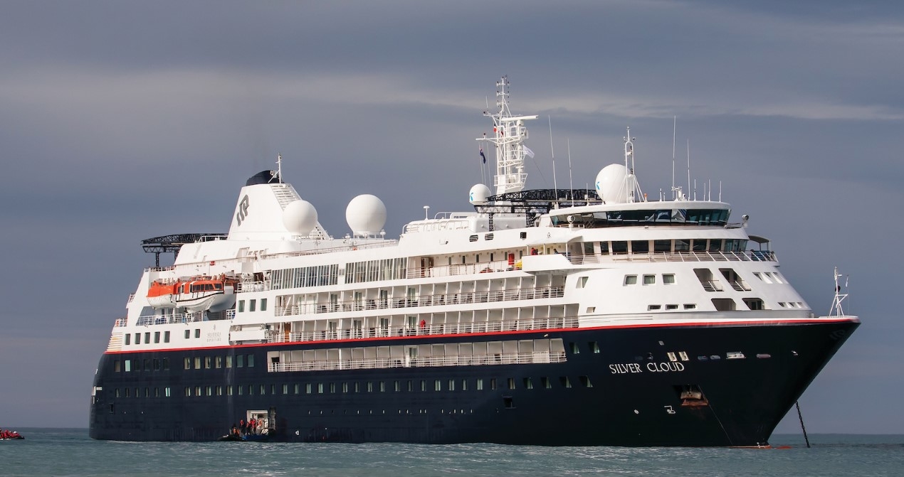
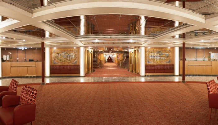
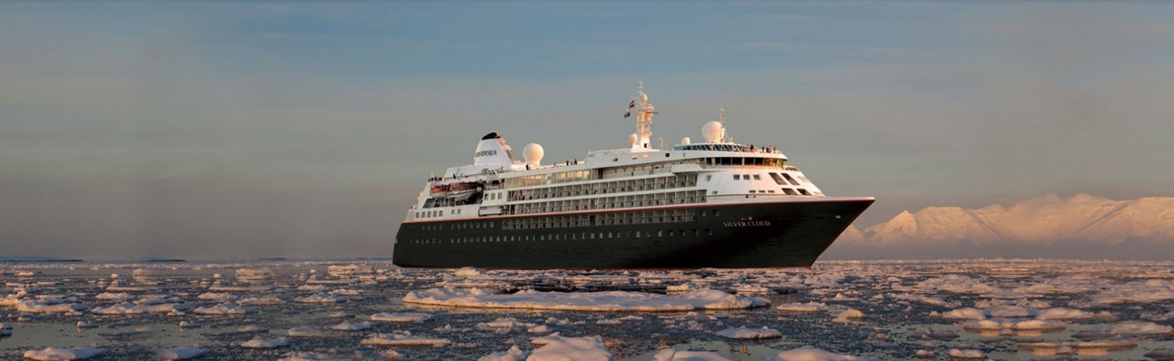
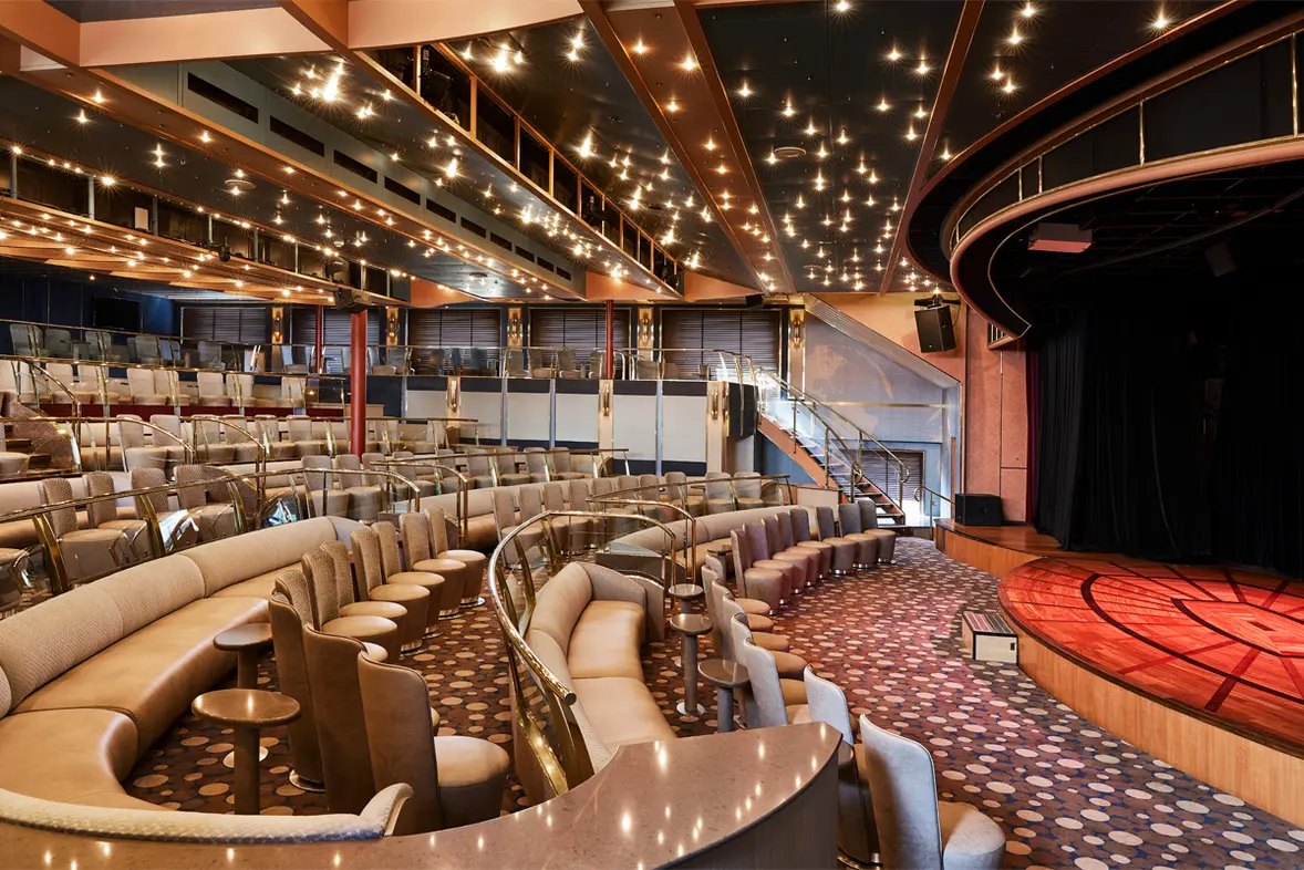
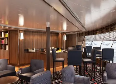
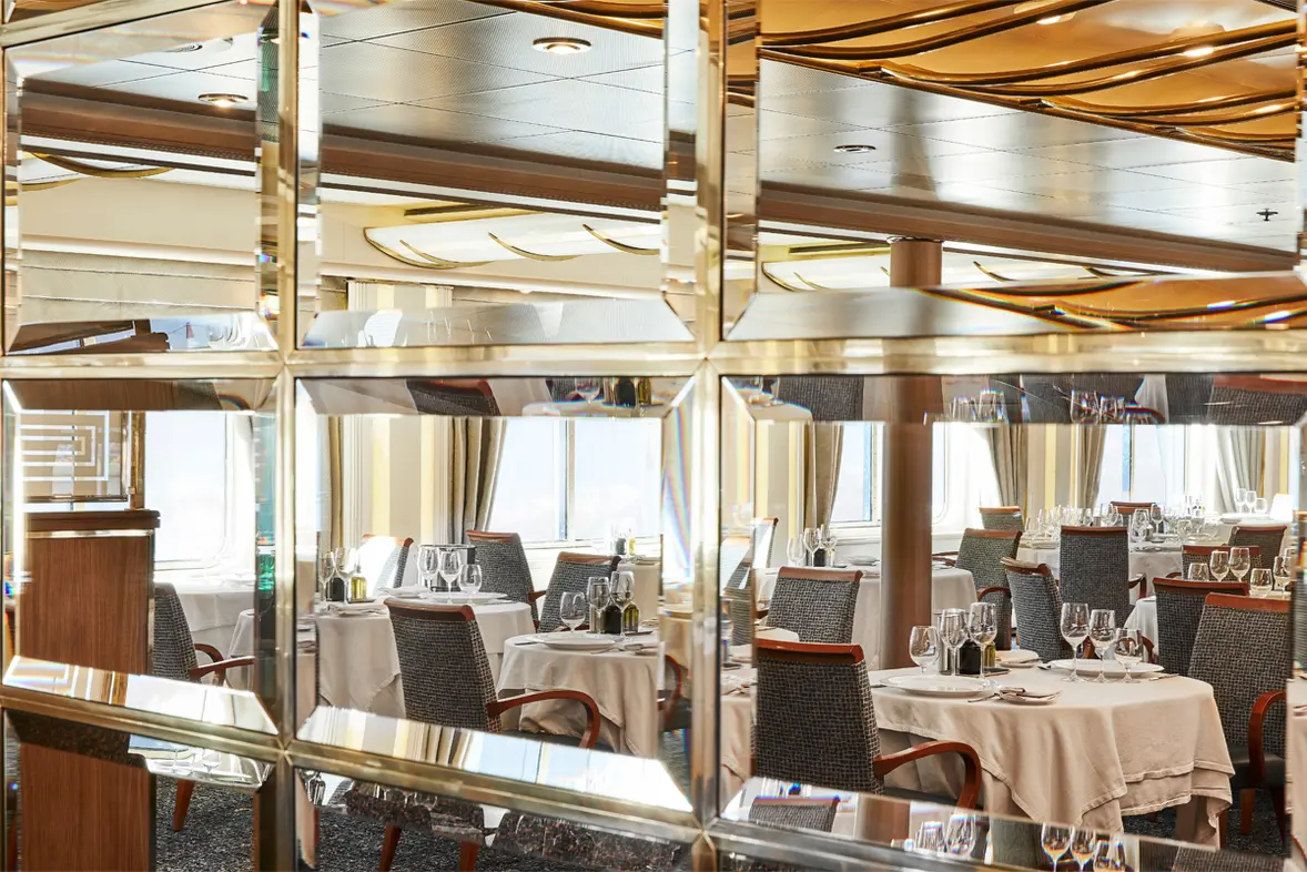
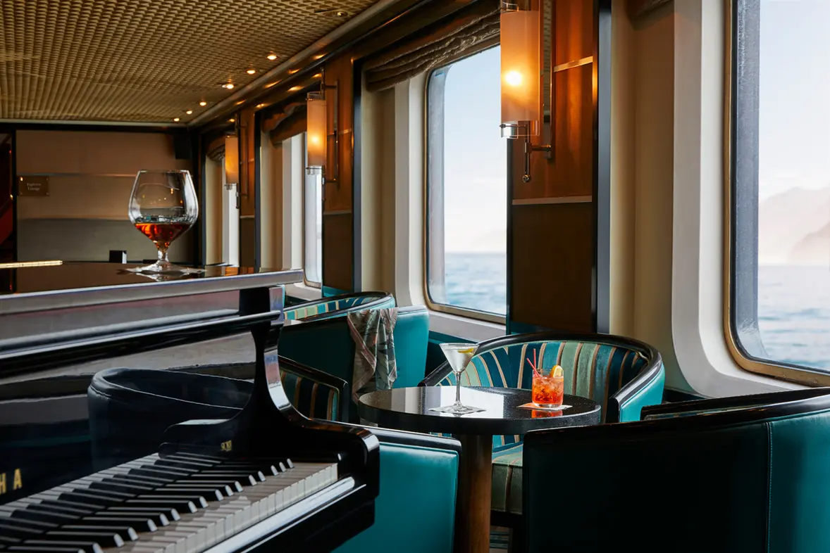
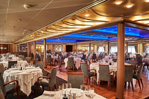
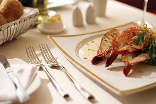
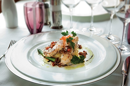
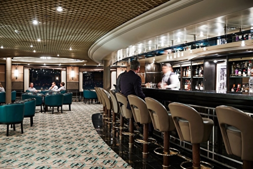
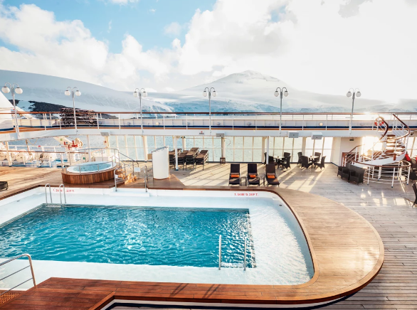
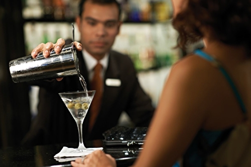
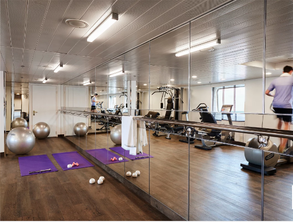
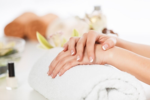
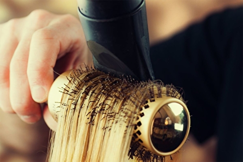
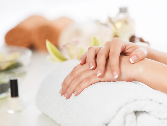
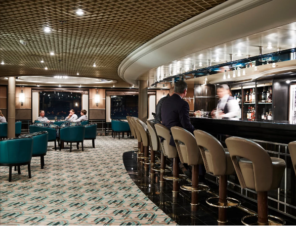
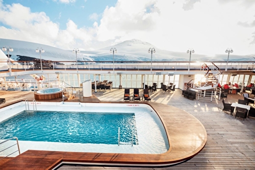
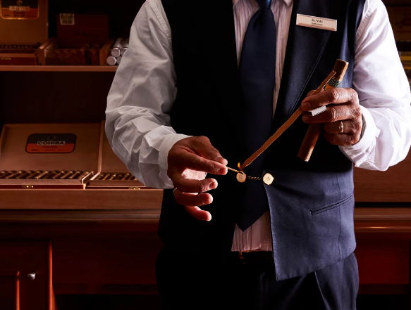
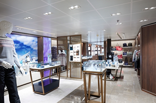
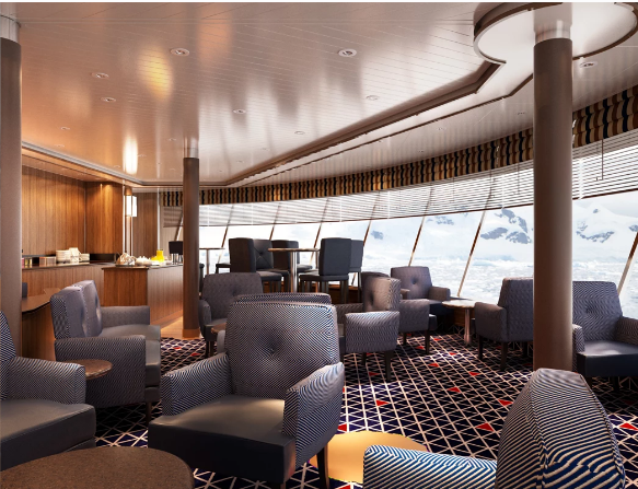
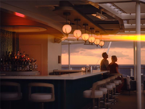
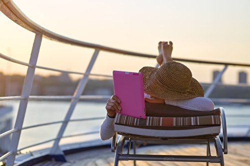
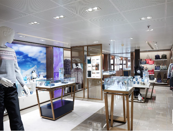
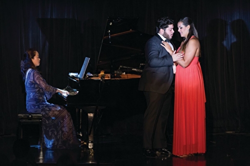
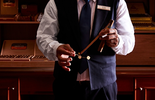
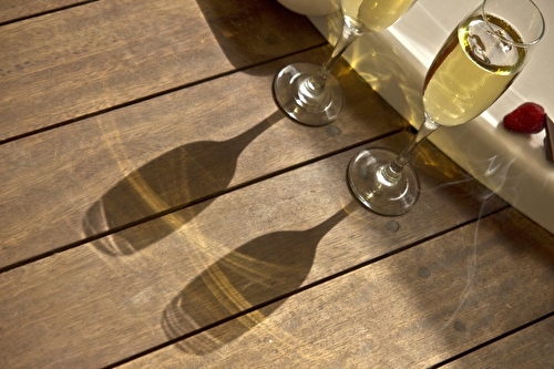
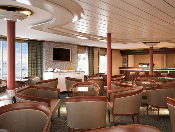
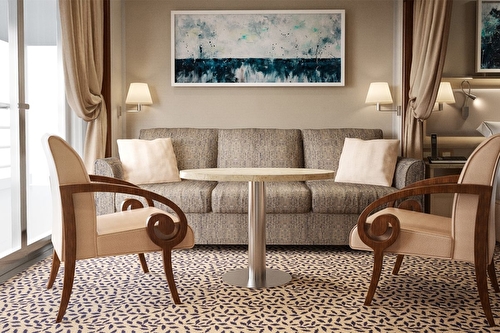
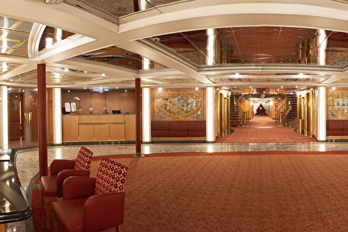
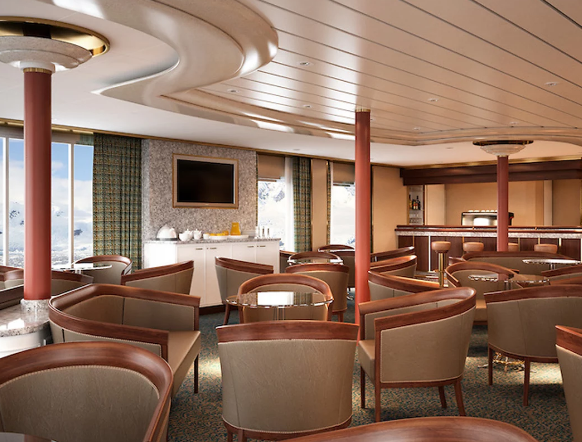
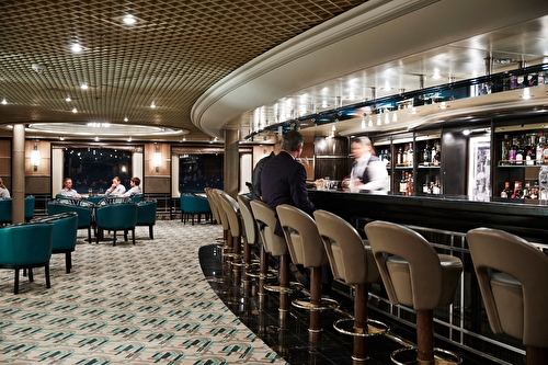

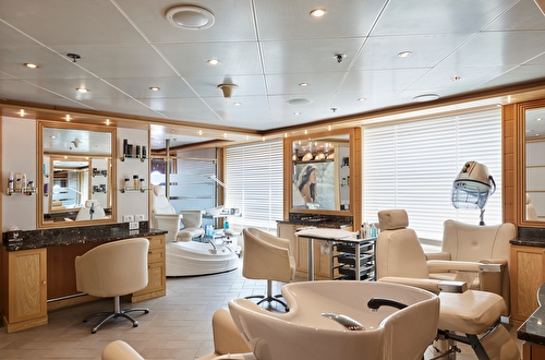

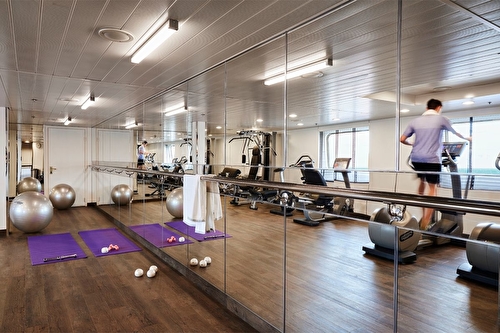

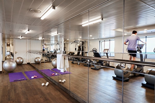
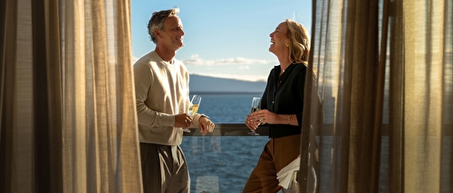


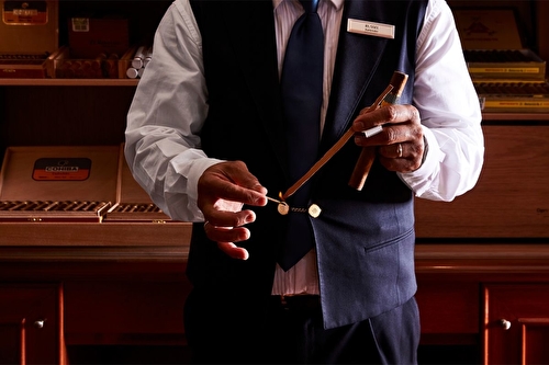
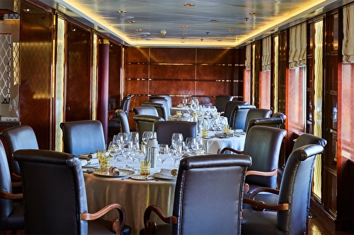
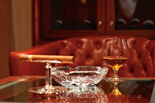
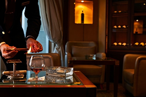
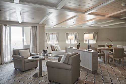
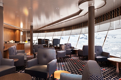
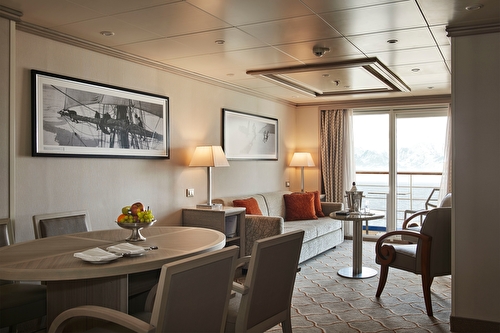
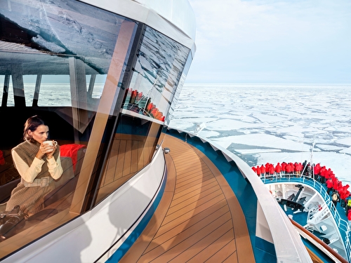
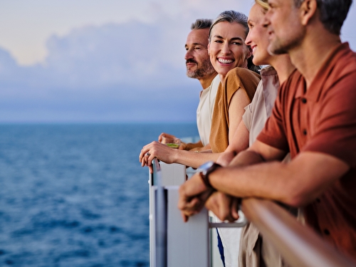
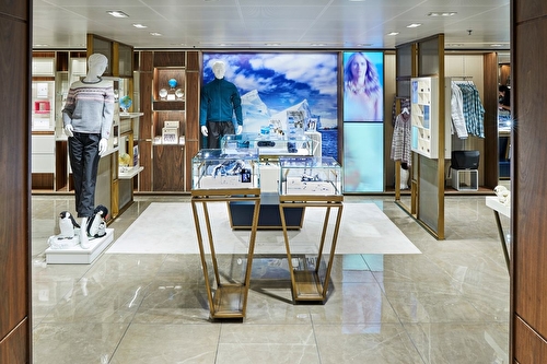
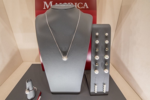
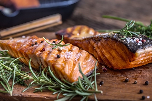
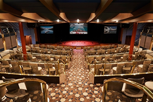
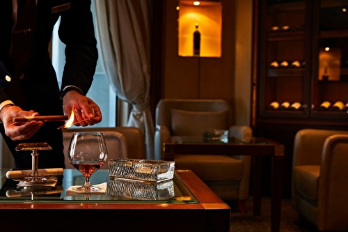
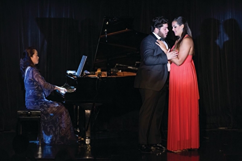
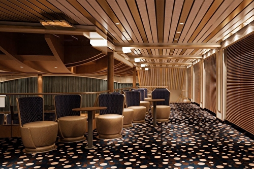
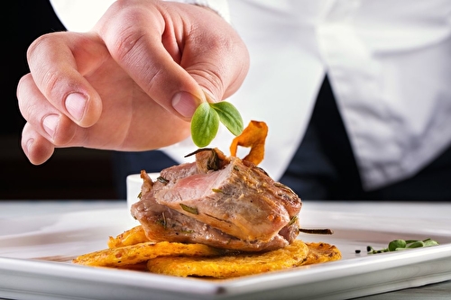
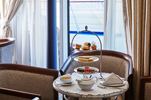
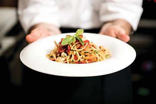
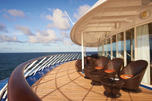
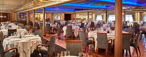
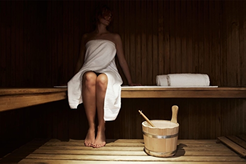
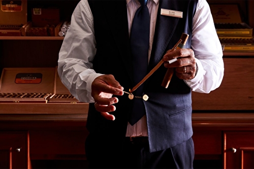
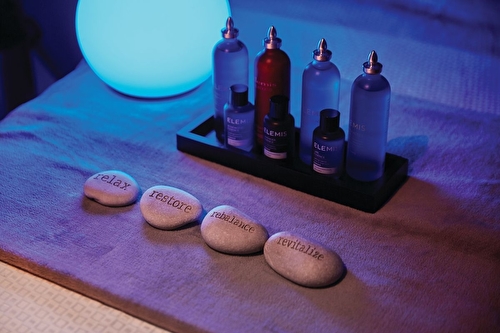
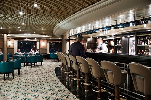
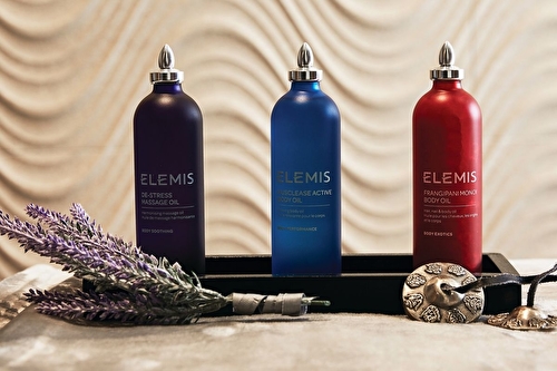
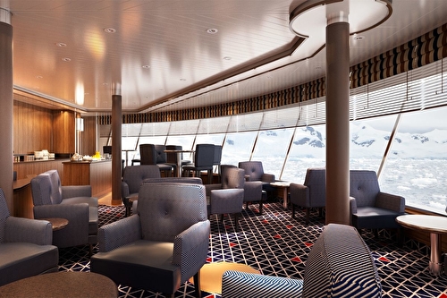

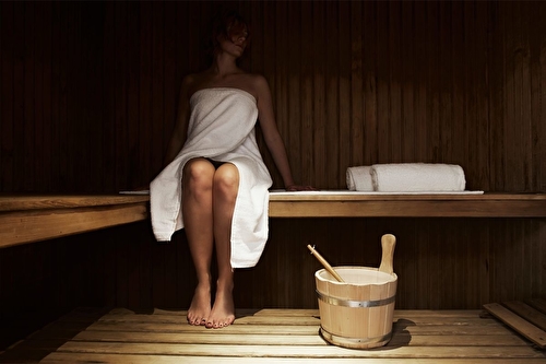
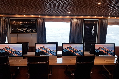
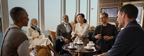
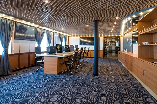
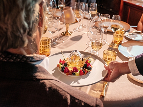
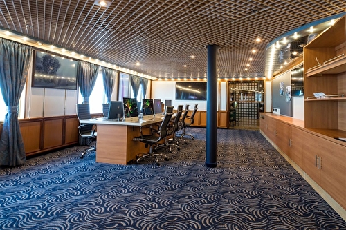
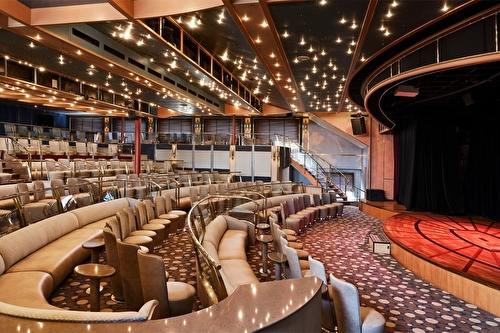

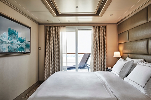
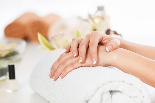
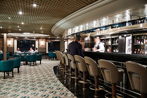
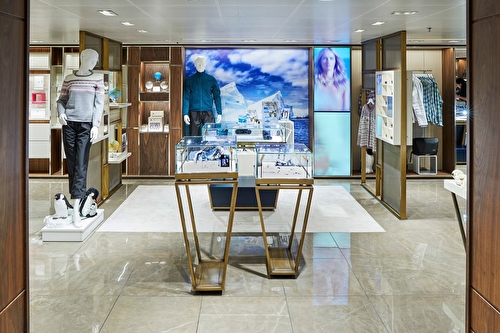
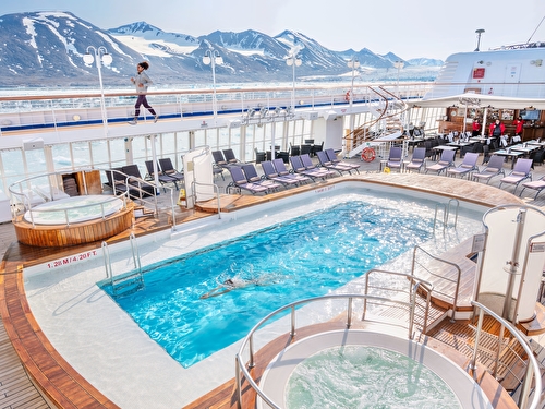
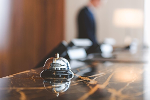
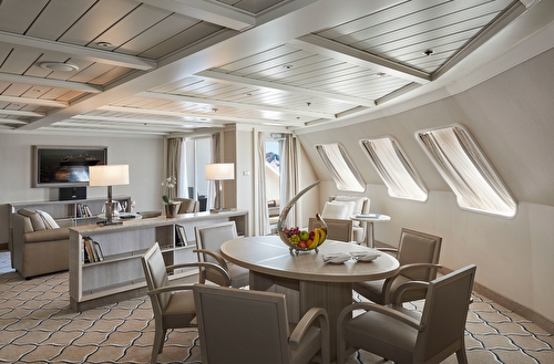
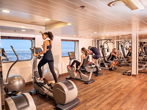
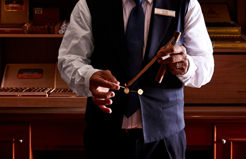
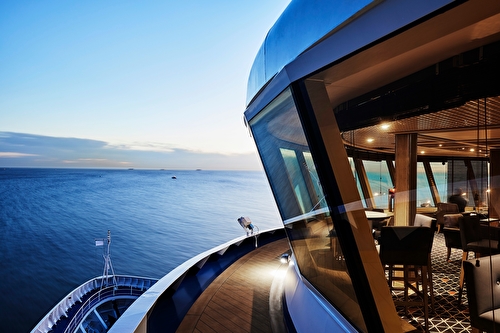
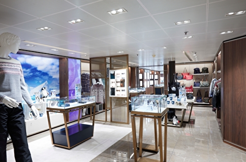
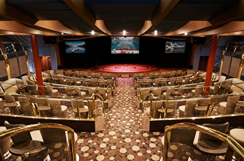
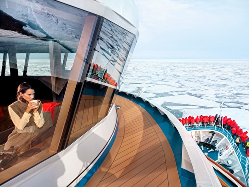
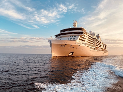
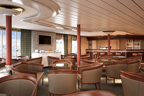
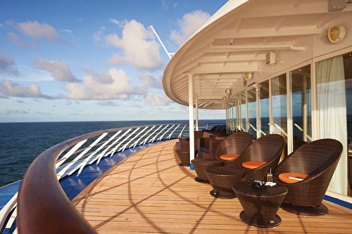
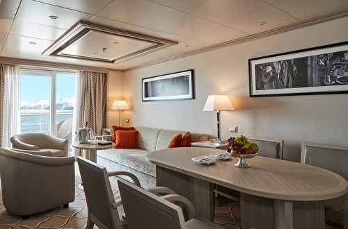
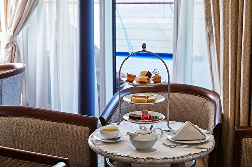
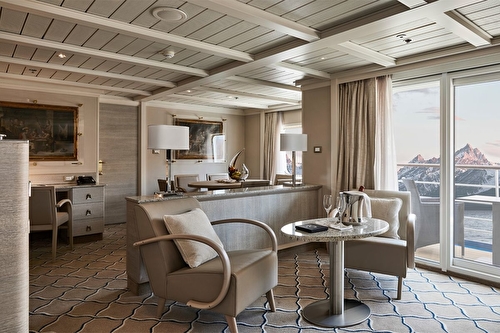
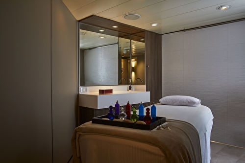


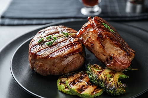
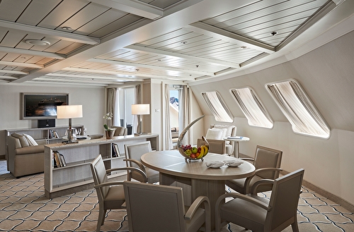
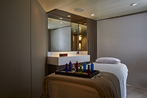
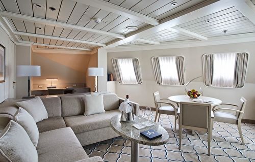
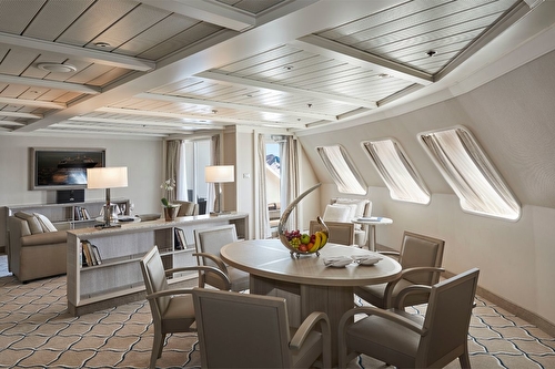
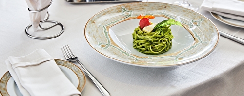

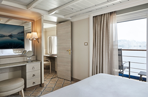
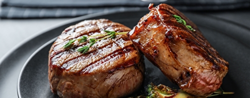
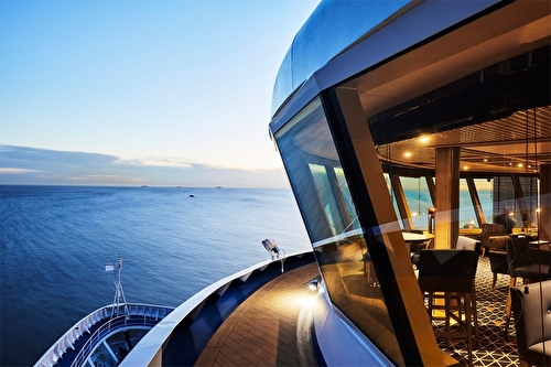
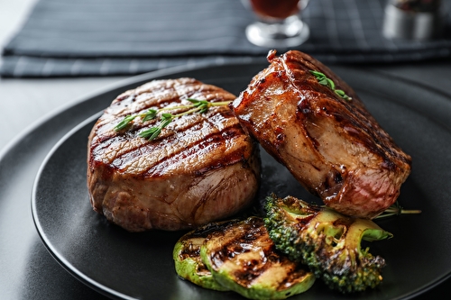
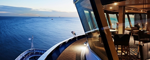
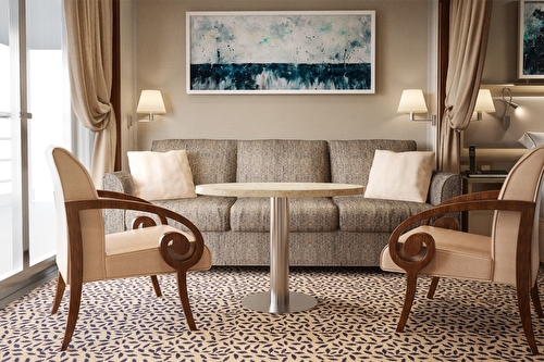
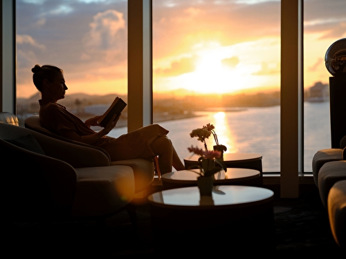
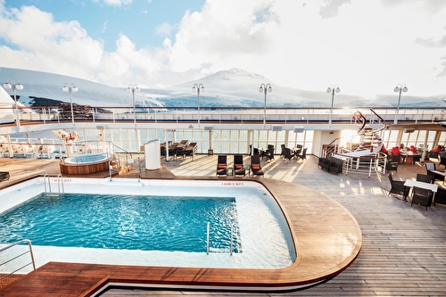
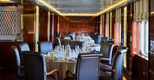
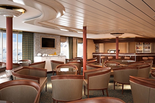
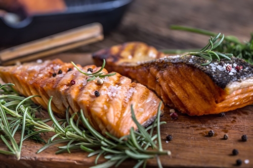
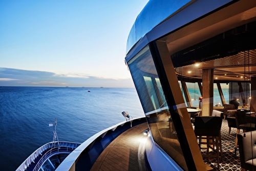
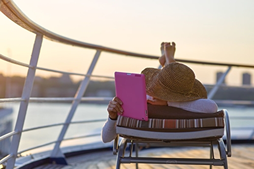
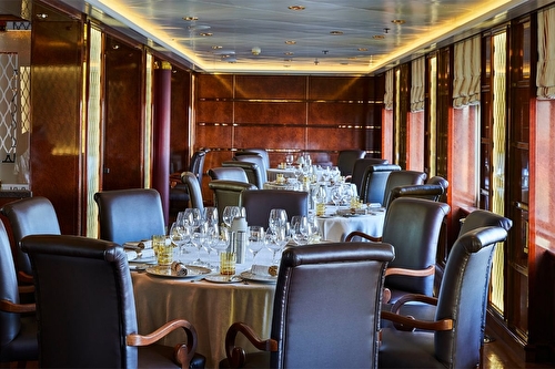
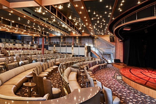
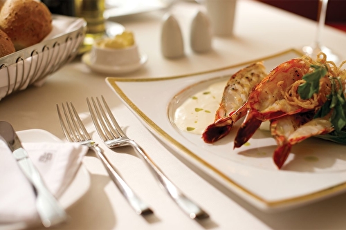
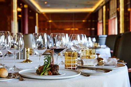
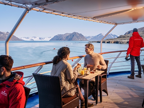
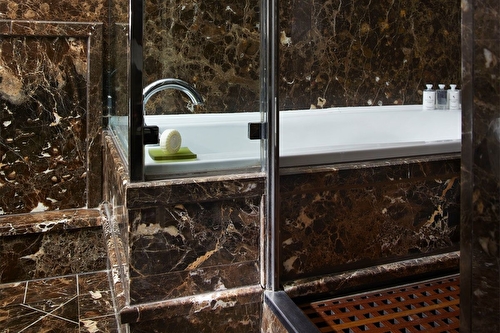
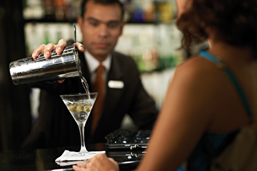
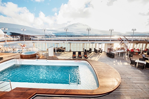
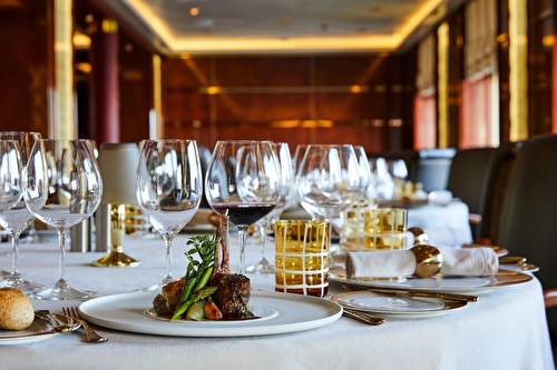
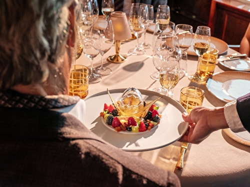
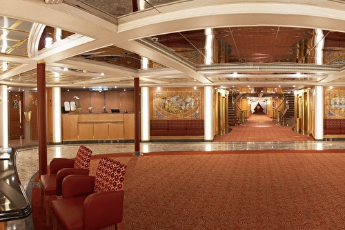
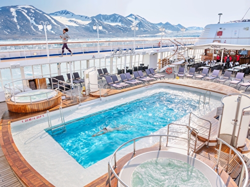
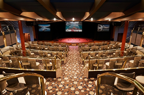
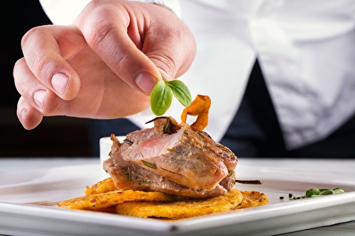
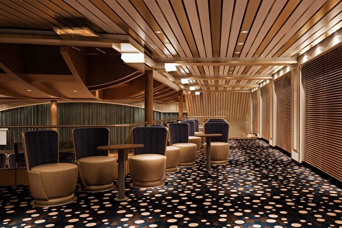
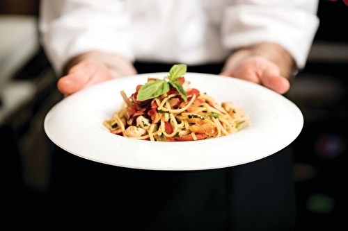
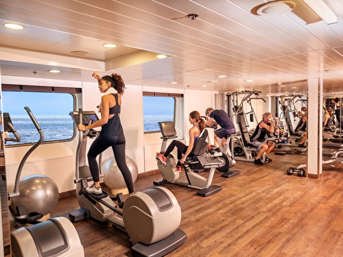
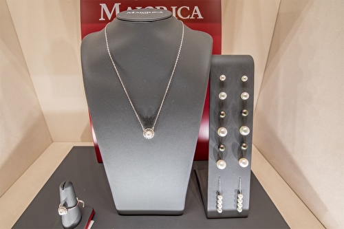

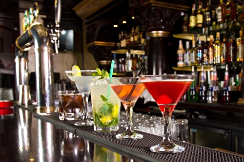
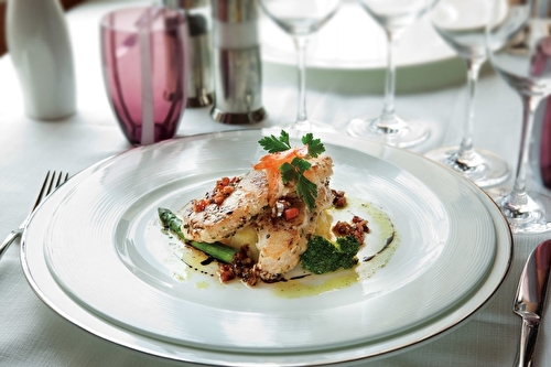
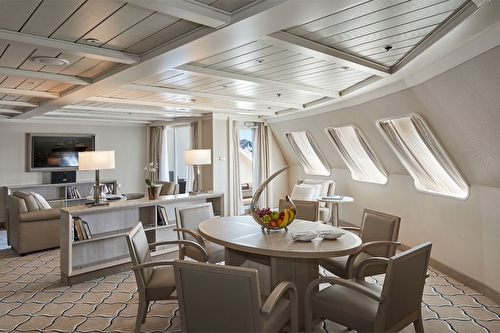
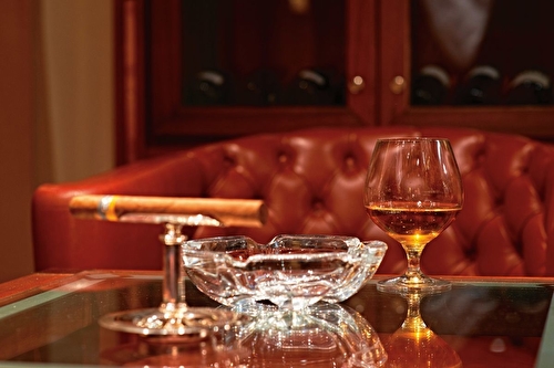
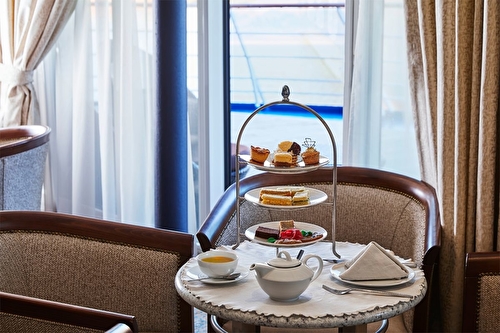
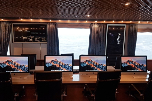
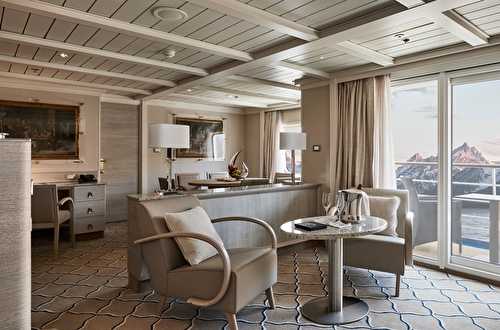
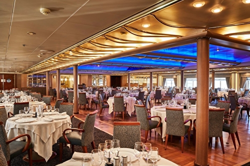
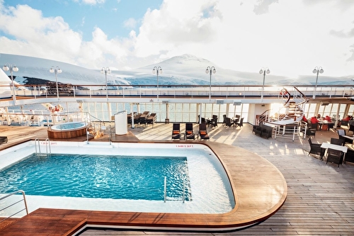
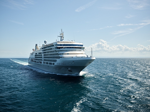
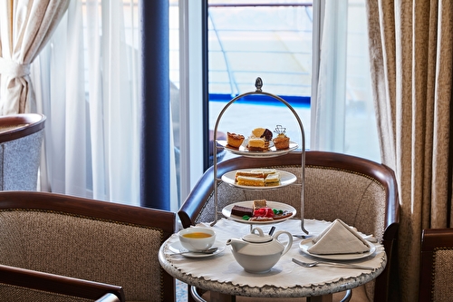
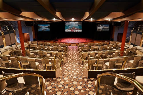
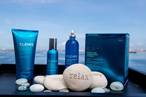
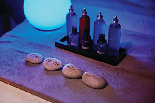
After extensive refurbishment, Silver Cloud is the most spacious and comfortable ice class vessel in expedition cruising. Her large suites, her destination itineraries and her unparalleled service make her truly special. Her four dining options will tantalise your taste buds and as 80% of her suites include a veranda, watching a breaching whale or a few cavorting penguins has never been so personal. A limited number of guests in polar waters, mean that Silver Cloud has the highest space to guest and crew to guest ratios in expedition cruising. With her 18 zodiacs, 10 kayaks, possibilities are almost limitless with ship-wide simultaneous explorations.
Boutique
Casino
Connoisseur Club
Connoisseur’s Corner
Observation Lounge
Panorama Lounge
Silver Note
Fitness Center
Jogging Track
Pool
Wellness Centre
Beauty Salon
Day Spa & Fitness Centre
Jacuzzi
Panoramic Lounge
Pool Deck
Spa
Swimming Pool
Whirlpool
Arts Cafe
Atlantide
Dolce
La Dame
La Terrazza
Spaccanapoli
The Grill
Venetian
Description
After extensive refurbishment, Silver Cloud is the most spacious and comfortable ice class vessel in expedition cruising. Her large suites, her destination itineraries and her unparalleled service make her truly special. Her four dining options will tantalise your taste buds and as 80% of her suites include a veranda, watching a breaching whale or a few cavorting penguins has never been so personal. A limited number of guests in polar waters, mean that Silver Cloud has the highest space to guest and crew to guest ratios in expedition cruising. With her 18 zodiacs, 10 kayaks, possibilities are almost limitless with ship-wide simultaneous explorations.
Other
Boutique
Entertainment
Casino
Connoisseur Club
Connoisseur’s Corner
Observation Lounge
Panorama Lounge
Silver Note
Fitness
Fitness Center
Jogging Track
Pool
Wellness Centre
Relaxation
Beauty Salon
Day Spa & Fitness Centre
Jacuzzi
Panoramic Lounge
Pool Deck
Spa
Swimming Pool
Whirlpool
Food and Drink
Arts Cafe
Atlantide
Dolce
La Dame
La Terrazza
Spaccanapoli
The Grill
Venetian
STATEROOMS
